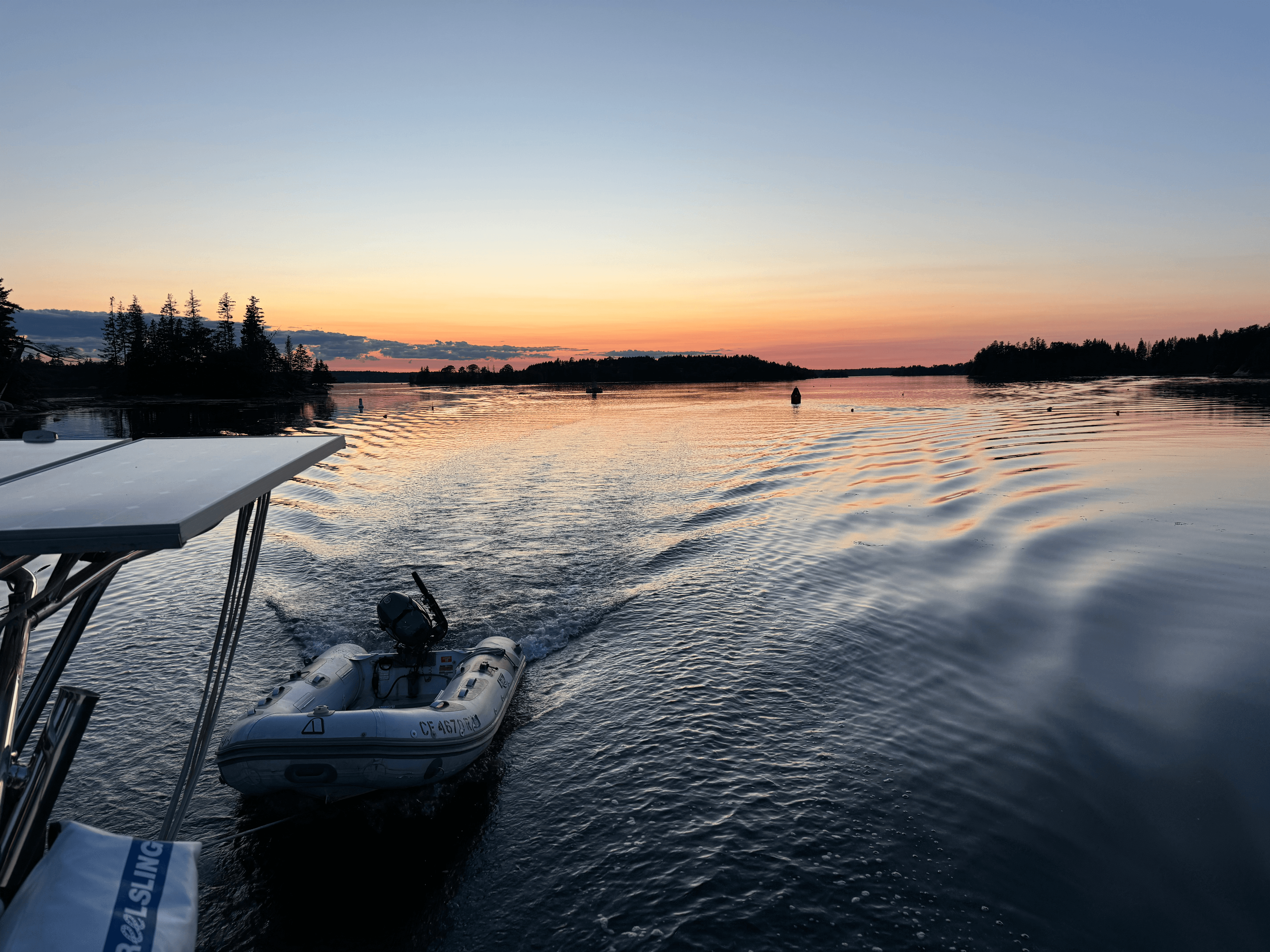
The briefing you wish you had before you cast off.
Seaward turns your route sketch into a clear, conservative plan with hazard highlights, Coast Pilot guidance, and a concise trip digest.
3 min
Average brief build
NOAA + USCG
Primary sources
Map-first
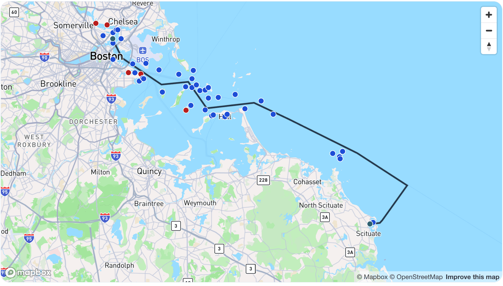
Sketch your route once
Trip map + LNM overlays so hazards are visible at a glance.
Coast Pilot digest aligned to your route progression.
Conservative assumptions with confidence notes and sources.
What you get
A calm, structured brief for safer departures.
The Seaward Brief aggregates Coast Pilot, Local Notices to Mariners, tides/currents, and chart context into a single briefing that mirrors how mariners plan: map first, then narrative, then decisions.
- Trip map & critical LNM alerts
- Coast Pilot narrative in short paragraphs
- Trip digest with conservative defaults
- Assumptions, confidence, and sources cited
How it works
Step 1
Sketch your route line and optional intent pins.
Step 2
Review a Seaward Brief: trip digest + Coast Pilot guidance.
Step 3
Verify and go with your charts, forecast, and local knowledge.
Built for planning, not autopilot.
Always verify weather, tides/currents, notices, and charts before you depart.
What's inside a Seaward Brief
- Trip map & LNM summary
- Critical LNM callouts
- Coast Pilot Digest
- Trip Digest
- Assumptions & Confidence
- Sources Consulted
FAQ
What are LNMs?
LNMs are Local Notices to Mariners from the U.S. Coast Guard that describe temporary or newly reported navigation issues, restrictions, and changes.
FAQ
Is Seaward a replacement for charts or navigation apps?
No. Seaward is a planning aid; always navigate with current charts, onboard instruments, and proper seamanship.
FAQ
How current is the information in my brief?
Seaward uses official sources and recent notice data, but conditions can change quickly, so always verify before departure.
FAQ
What locations work best in Seaward?
Only U.S. coastal waters are fully supported at this time. Within those areas, specific route sketches and pins produce better results than broad areas because the brief can align guidance to where you actually plan to travel.
FAQ
What if I’m new to an area?
Seaward is designed for that case and defaults to conservative guidance, but you should still validate local conditions and restrictions before getting underway.
FAQ
Why does Seaward suggest conservative actions?
It is intentionally safety-first and tuned to reduce surprises, especially when conditions, crew experience, or local familiarity are uncertain.